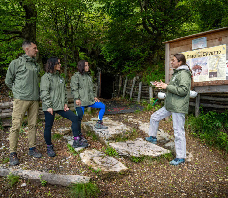
Generosa Cave (also known as Bear Cave)
The Generosa Cave (also known as the Bear Cave), located in Italy, a 30-minute walk from the Swiss border, ...

Mount Generoso
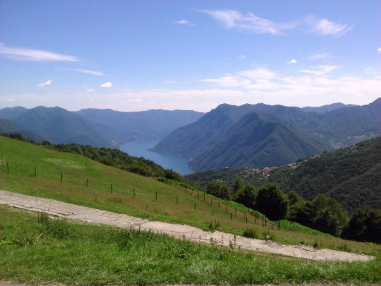
MONTE GENEROSO – 1701 m In the heart of the valley, between pastures and meadows, on the border between Italy and Switzerland, lies the highest mountain ...

Corniga – Alpe di Colonno
Corniga – Alpe di Colonno Length: 5.8 km – Max height difference: 620 m (- 160 m) – Duration: approx 2 h DESCRIPTION BY ...

The Schignano Basin
The Schignano Basin The itinerary winds along a circular route through the “VALLE INTELVI REGIONAL FOREST” (surface area of 81.85 hectares). ...

Former fitness route – from San Fedele Intelvi to Laino
Former fitness trail – from San Fedele Intelvi to Laino The fitness trail is located in the territories of Laino and Centro Valle Intelvi, loc. San...

Lanzo – Monte Caslè
Lanzo – Monte Casle' (1045 m) and Monte Pinzernone (1175 m) Leave the car near the Orthopedic Physiotherapic Center (COF), ...

Mount San Zeno
Monte San Zeno Another mountain symbol of the Intelvi Valley, with a privileged view of the lake and the Comacina Island. The little church, already a destination for ...

Path of the trenches
Route of the trenches Difference in altitude: 485 m – Travel time: h. 4.30 – Difficulty: EasyThe Trenches Route ...

Pigra – Monte Galbiga – 1698 m
Pigra – Monte Galbiga – 1698 m It is the second highest mountain in the area. The departure from Argegno with ...

Sasso Gordona
Sasso Gordona Monte, symbol of the Intelvi Valley. It is advisable to arrive from Casasco by car to Alpe di Cerano, familiarly called ...

Along the mule track to Erbonne
Along the mule track to Erbonne A relaxing itinerary, immersed in the woods and with a memorable finish line: Erbonne. The trail starts from ...

The route of the Lariani mountains
The Via dei Monti Lariani It is a beautiful hiking route that from Cernobbio connects locations scattered along the mountains of ...
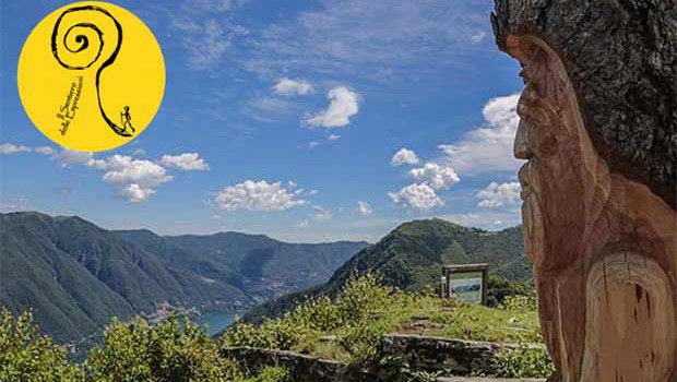
The path of expressions
THE PATH OF EXPRESSIONS – Valle Intelvi Regional Forest The Path of Expressions, thanks to a project that combines ...

Monte Crocione (1,641 m)
Monte Crocione (1,641 m) This walk, given the possibility of reaching 1,576 meters above sea level by car, is also ideal for ...

The valley of the mills
THE VALLEY OF THE MILLS (DIZZASCO – CERANO) From the center of Dizzasco a mule track descends to the Valley of the Mills, so called because once ...
Pigra: Strada dei monti – Alpe di Colonno
PIGRA: STRADA DEI MONTI – ALPE DI COLONNO (1,322 m) Ancient forest road, not suitable for vehicles, which enters the beech woods ...

The ring of the Lace of the Cross from Orimento
The Pizzo della Croce ring from Orimento ROAD DIRECTIONS: from Centro Valle Intelvi – San Fedele Intelvi (Piazza Carminati) ...

Lanzo – Sighignola
Lanzo – Sighignola LANZO – SIGHIGNOLA (MT 1302), BALCONY OF ITALY It is a destination easily accessible from Lanzo (departure from the old ...

Lazy: Middle road
Pigra: Middle road Length: 2.6 km – Max difference in altitude: 90 m – Duration: approx. 45 min DESCRIPTION BY THE ASSOCIATION Amici di ...
