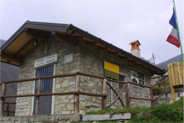
Orari di apertura settembre 2023


")
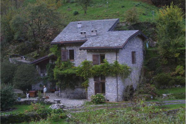
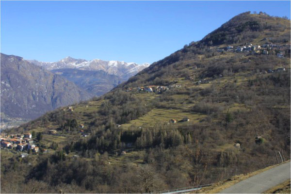
Dizzasco is a town of 624 inhabitants located at an altitude of 506 meters above sea level and it covers an area of 361 hectares.
Like many other villages in the region, it took part in the ten-year war between Como and Milan, and over the years it became part of the dominions of some feudal families, including Visconti, Rusconi and Marliani.
During the nineteenth century, Giuseppe Mazzini went there several times to organize, together with Andrea Brenta, an expedition in order to drive out the Austrians.
Now the town has become primarily a holiday resort for the elderly.
Further information: www.dizzascomuronico.it
Watch the video rmade by Simona Castelli "Il borgo di Dizzasco: un museo a cielo aperto"
|


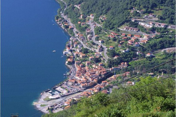
Claino con Osteno, located on the Italian side of Lake Lugano, counts 544 inhabitants and its altitude is of 280 meters above sea level. It covers an area of 1290 hectares and it is composed by several villages, including the two most importants which give the village its name. The other villages are St. Lucio, Barclaino, Rescia and Righeggia.
One of these villages was built on the ruins of an old fortress, as suggested by its structure, of which the remains of the walls and the tower are still visible. This fact also explains the name of the only town square, actually called "Piazza del Forte" (fortress square). This land played an important role during the Middle Ages, and during later centuries due to its strategic position, as it indeed was the access point to the Val D'intelvi.
|

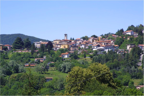
Schignano is a village of 864 inhabitants located at an altitude of 650 meters above sea level.
It extends over an area of 1012 hectares, it is composed by different fractions and it is surrounded by mountains such as Comana, Sasso Gordona, Crocione and Monte of San Zeno.
It is one of the most famous and sought-after destinations of the Val d'Intelvi because of the events held here very frequently, including that of the Carnival which is the most important one.
A plaque at the entrance of the local cemetery commemorates the citizen Giuseppe Peduzzi, who was one of the victims of the sinking of the Titanic.
|
Cerano d'Intelvi is a town of 557 inhabitants, called Ceranesi, situated 630 meters above sea level extending over an area of 555 hectares. Early in the twelfth century it took part in the ten-years war between Como and Milan and then passed under the rule of different feudal families, including the Camozzi, the Rusconi and the Marliani. The territory has also been ruled by Gian Giacomo De’ Medici during the five-hundreds and now the country is part of the Lario Intelvese community.
|

San Fedele Intelvi is a town of 1808 inhabitants located at an altitude of 779 meters above sea level.
Its foundation dates back to thousands of years ago, since this area has been inhabited since prehistoric times, as evidenced by some erratic boulders cupelliformi found by archaeologists.
Near the village was also discovered a necropolis, whose excavations have unearthed several artifacts of the eighth century BC; there are also a number of Roman tombs.
In the twelfth century a church and a castle were built: the main facade, now home of the post office, is still visible.
Initially, the territory was under the jurisdiction of the Municipality of Como, but in the thirteenth century it became a fief of the Camuzzi family; it then became property of the Rusconi family, following that of the Marliani and finally the Riva Andreotti.
San Fedele was the first headquarters of the District Commissionership and of the Judicial District of the Third Canton district.
The town was the home of Andrea Brenta, one of the protagonists of the intelvese insurrection against the Austrians.
Since 1° january 2018 it has become an hamlet of the municipality of Centro Valle Intelvi with Castiglione and Casasco d'Intelvi.
|
The village of Castiglione d'Intelvi counts 1182 inhabitants and it is located at an altitude of 650 meters above sea level. After the end of the decade-long war between Como and Milan, this feud became a possession of the Camozzi family, which built a castle with a tower: that’s where the actual name of the village came from. Of these two buildings only few ruins have survived, while the fortified house built by subsequent owners, the Mariani family, has been preserved intact. The Rusconi family then took possession of Castiglione, which in 1527 was taken over by Gian Giacomo de’ Medici il Medeghino. It was then the main village of the valley during the Austrian domination of Italy.
Since 1° january 2018 it has become an hamlet of the municipality of Centro Valle Intelvi with San Fedele and Casasco d'Intelvi.
|

Casasco d'Intelvi is a mountain village with 464 inhabitants located at a height of 822 meters. This area was already inhabited at the time of the Neolithic: the “cupelliformi” erratic boulders found in this territory testify precisely the presence of human settlements. Traces of the Ligurian period remain instead in the name of the village as, in the language of this ancient population, words ending in “asco” were very frequent. In 1335 it was part of Pieve d'Intelvi, while later it passed into the hands of various feudal families of the area; finally, it became part of the province of Como and the current name of "Casasco d'Intelvi" dates back to 1863.
Since 1° january 2018 it has become an hamlet of the municipality of Centro Valle Intelvi with Castiglione and San Fedele Intelvi.
|

Ponna is a town of 254 inhabitants located at an altitude of 870 meters above sea level. It was born from the union of Lower Ponna and Ponna Superiore, which occurred in 1756. The foundation of this village is very old, as evidenced by the presence of some erratic “cupelliformi” boulders found in the area. Some scholars attribute the origin of the name to the greek word Ponna (Peony or Peona), some instead think of Epona, ancient deity of war, and others to the Etruscan word Leponzio. Some findings, now preserved in the Archaeological Museum in Como, show that the territory was already inhabited in Roman times. The joint then passed into the hands of different families, such as the Visconti, the Rusca, the Marliani and the Riva Andreotti.
Watch the video made by Borghi d'Italia: https://www.youtube.com/watch?v=SBC3gDZBv0w
|
Blessagno is a village that counts 272 inhabitants and it is located between 675 and 1397 meters above sea level. It previously belonged to Pieve d'Intelvi and was called "City of Luira". Initially part of the feud of the Val d'Intelvi, in 1451 it became property of the Rusca family and then it passed to the families of Marliani (1570) and Riva Andreotti (1713). The only activity practiced by the inhabitants was agriculture; the town joined the Province of Como in 1861.
|

Pigra is a village of 258 inhabitants located at an altitude of 881 meters above sea level. The village fought alongside Como during the ten-year war against Milan; during the period of the “Comuni” (municipalities), a lookout tower was built, whose remains were later demolished for the construction of a new villa. Gian Giacomo de’ Medici, commissioned by Francesco Sforza II, tried to expel the French who had taken over the area, and in 1527 he finally succeeded in the enterprise. It was also made fief of various families, including that of the Rusconi, the Marliani and the Riva Andreotti. The town also took part in the insurrection against the Austrians that ended with the shooting of Andrea Brenta and the exile of Don Cavalli, Pigra pastor.
Further information: www.aapigra.it
Watch the video made by Municipality of Pigra
|
It’s a village of 681 inhabitants and it is located at about 20 km from Como, linked to the city by the “Strada Regina”. The foundation of Argegno probably dates back to Roman times, as shown by two plaques found in Brienno where it was mentioned as Publius Cesium Archigene, from which probably derives the actual name of the village. In1270 Antonio Castello built there a stronghold that was used during the clashes between the Guelphs and Ghibellines from the Vittani family. In the village center existed another castle with a tower, which collapsed in 1876; in 1335 Argegno fell under the jurisdiction of the Visconti. The parish church, named after the Holy Trinity, dates back to the twentieth century and it was consecrated in 1929.
|

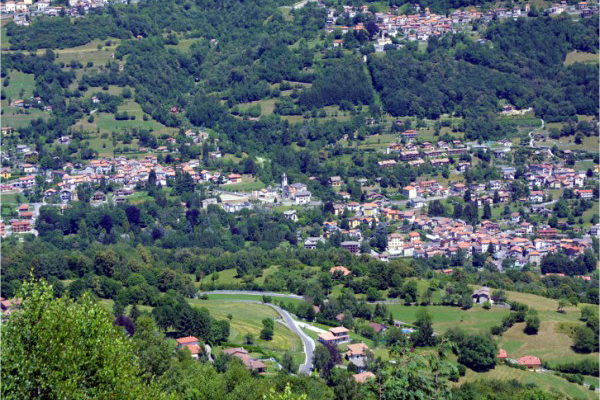
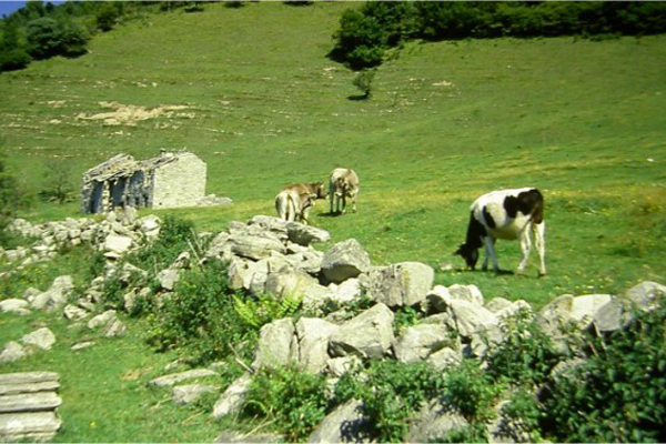
Pellio Intelvi is a town of 977 inhabitants, it covers an area of 999 hectares at an altitude of 750 meters above sea level and it was born from the union of Lower Pellio and Pellio Superiore. There are many reports of the prehistoric period, but the presence of a human settlement in the Middle Ages is well testified by the remains of an ancient fortified building. The country has passed into the hands of various feudal families, among which are the Camuzzi, the Rusca, the Marliani and the Riva Andreotti. Almost all male inhabitants of the town were experts in building and this explains the presence of a large number of decorations and representations of lanscapes on the village's walls.
Since 1° january 2017 it has become an hamlet of the municipality of Alta Valle Intelvi with Ramponio Verna and Lanzo Intelvi.
|

Lanzo d'Intelvi is a town of 1447 inhabitants and it covers an area of 1004 hectares at an altitude of 907 meters above sea level. The earliest traces of human presence date back to prehistoric times, while two tombs boulders found in the Scaria area date back to the second or third century BC. The town took part in the ten-year war between Como and Milan siding with the first, and later passed in the hands of various feudal families, including the Rusca, the Marliani and Riva Andreotti. Giuseppe Mazzini was often there to organize the expedition against the Austrians with Andrea Brenta, which in the end was shot.
Since 1° january 2017 it has become an hamlet of the municipality of Alta Valle Intelvi with Ramponio Verna and Pellio Intelvi.
Further information:http://www.prolocolanzoscaria.it/344-2/
Watch the video made by Borghi d'Italia: https://www.youtube.com/watch?v=2YRHwbx2Z5Y
    
|
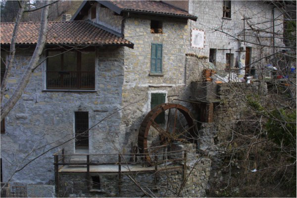
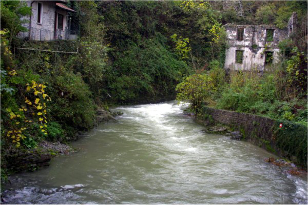
Laino is a village of 499 inhabitants, its territory covers an area of 666 hectares and it is situated at an altitude of 671 meters above sea level.
It is located on a plateau between the Loria and the Ceresio mounts that contribute, along with various streams and the Telo Lirone river, to make it a bit more secluded and independent from the other villages.
It is certain that Laino was already populated at the ancient Romans’ time, as evidenced by objects found in the area, which are exhibited in the Archaeological Museum of Como. The name of the town probably comes from the hamlet of Jno, founded by the ancient colonizer Jnus.
Later in time, a castle was built : it was an important center of defense during the barbarian invasions of Goths, Vandals, Alans, Ostrogoths and Heruli. The town took part in the ten-years war between Como and Milan and, at the end of it, it passed into the hands of different families, who already owned many other towns of the valley: Camuzzi, Trivulzio, Rusca, Marliani and Riva Andreotti.
The Conte Melchiorre Riva Andreotti appointed himself the seat of the General Intelvese Council and, during the period of Austrian ruling, the village became the center of operations of the Intelvese “Giovine Italia”.
|
![]()
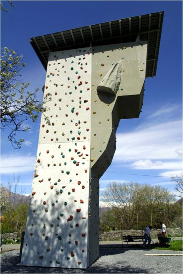
Staying at our facilities, doing sports in our area, or simply enjoy a dinner with friends.. This, and more, on valleintelviturismo.it
Follow us on our social networks and stay updated on the latest news.


